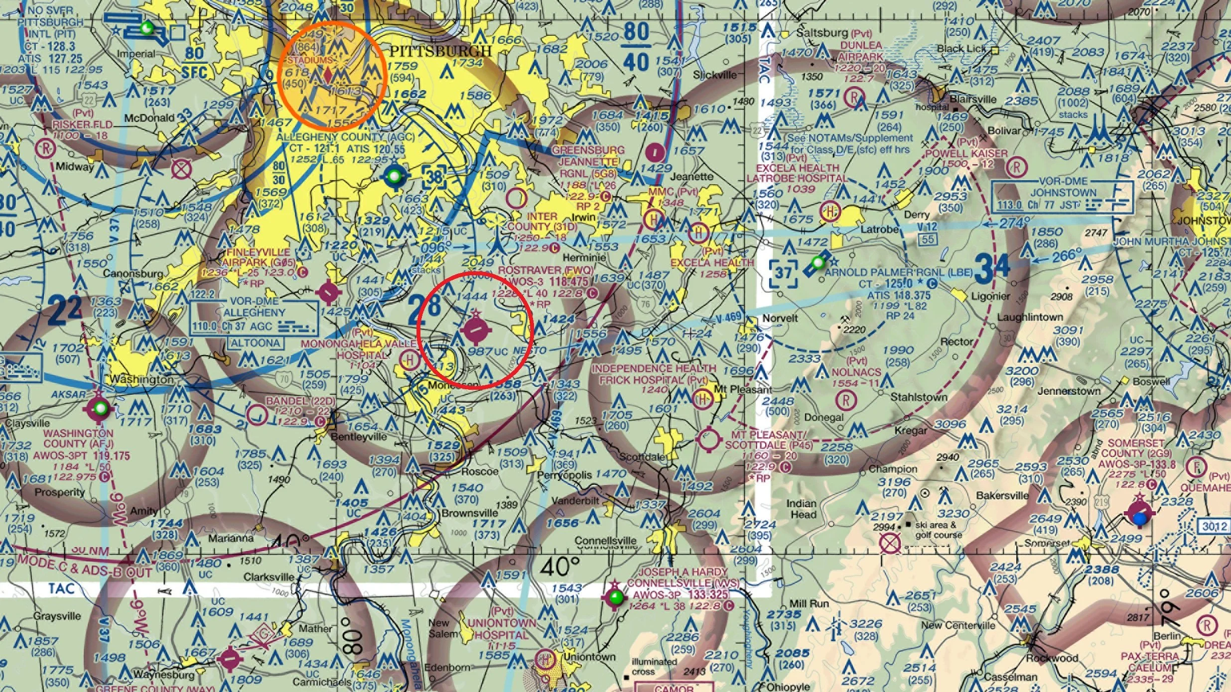
As an FAA Designated Pilot Examiner working primarily in the Allegheny FSDO, I generally conduct practical tests in the Southern portion of Western Pennsylvania. Since I reside in Irwin, PA , my preferred and primary service airport is Rostraver (31D). Checkrides will be conducted at my office which is at Hangar G-7 (Please refer to the airport diagram above)
If your airport isn’t listed, I do travel as needed to other airports in the Western PA/Eastern Ohio area, but only on a workload-permitting basis. Travel fees apply, Please feel free to Email me with any specific requests.
Due to the geographic boundaries on DPEs being lifted in late 2018, I am available to conduct FAA practical tests anywhere I may happen to be traveling. I travel periodically to Florida, Arizona and other areas across the continental U.S.